FROM CESARA TO THE ALPE SACCHI
verdi pascoli al confine con la valsesia
There is another side to Lake Orta, more concealed and adventurous, through thick forests of redwood pine and old beech trees which cover the mountain slopes as far as the eye can see. A genuine and unexpected surprise awaits on the western side of the lake, on the borders with the Valsesia, the valley of the eponymous river: the area overlooking the villages of Cesara, Arola and Nonio, little places with their roots still well anchored in history and tradition. This is a route for experts, an itinerary which offers constant difficulties, but should not cause you to give up: once you get to the top, the stunning views and the fun to be had going back down again will soon make you forget the hard climb up.
CESARA
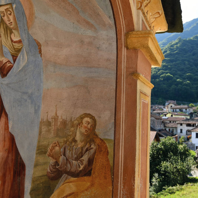
Departure is from Cesara, a little well-preserved village which offers a few artistic and historical gems. The 17th century San Clemente parish church and its gorgeous little arched portico is one of these, together with the historical home just opposite the church, one of the better-preserved villas on Lake Orta, with its stone roof and decorated windows typical of the Cusio area.
ARRIVING AT NONIO
We pedal along the flat path which links Cesara with Nonio, another interesting village rich in architectural and historical beauties.
The climb starts in the village centre, following the signs for the laghetti di Nonio, Nonio’s little lakes. In about 10 minutes the valley opens up with its body of water and the waters of the impetuous streams that cross it. Leaving these blue mirrors behind, there is a quick climb, on the right the part over cobbles is accompanied for a good part of the way by a rushing stream.
At this point, the terrain is both slippery and bumpy and immediately puts the cyclist’s determination and tenacity to the test: even if the road is broad it sometimes gives very little grip, though it is quite flat in places and does allow you to get your breath back.
You proceed along roads that are lined by thick woods, past a few streams which every now and again cross the road, giving you a chance to catch your breath and gleefully enjoy a touch of wild happiness.
UPON ON THE ROOF
After about 3 km you enter a beech wood. The route continues on an unsurfaced road which occasionally makes it hard to get up to the peaks.
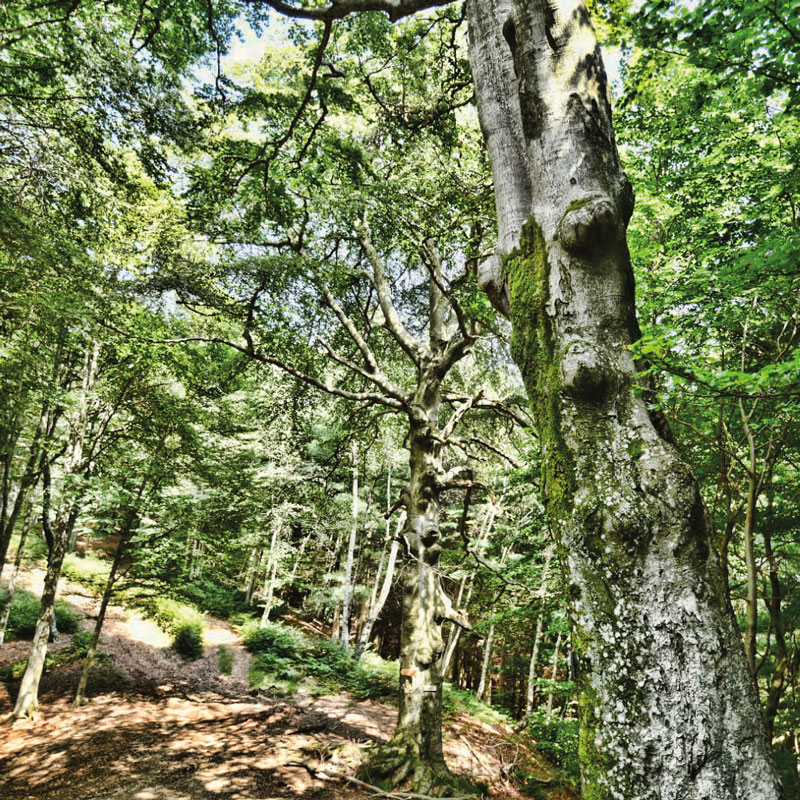
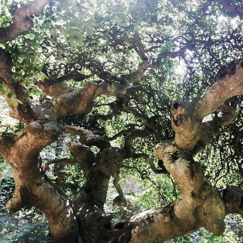
At one point in the beech wood, not far from the final climb up to the top, you will find a wooden sign at the base of a great beech which says Fo’ al’Umbrela, an old beech which is distinctive for its fantastic foliage that looks just like an umbrella. While you stop to draw breath, do not miss taking a look at it.
After a refreshing little break, prepare for the final ascent: here the path gets narrower and skirts the mountain for about 1 km before magically coming out at the foot of the Alpe Sacchi.
COW BELLS
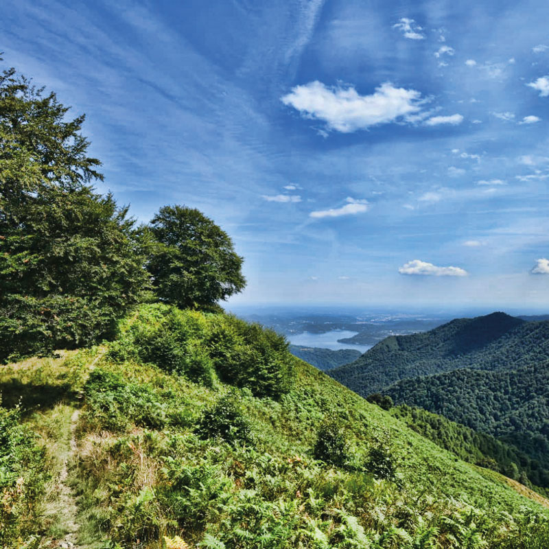
In summer the cow bells will give you final encouragement to reach the peak which touches an altitude of 1,230 metres above sea level. Here you will realise just how much beauty and magnificence this place on the borders of Valsesia offers: unique observation points to admire Lake Orta on one side and on the other Varallo Sesia and the surrounding valleys. Quite apart from the incomparable views, for those who wish, the Alpe Sacchi also offers a pleasant pause for some good food and a drop of wine. During the summer, (at weekends and during the week if you book) a local family offers the chance to have lunch made with their own products: polenta, cheese, local meat from the breeding of their own herds. Together with the gorgeous views, this will be ample compensation for all your efforts.
A COUNTRY STOP
Leaving the alp behind you, follow the road toward Varallo for 300 metres. Once you get to the bend, just make another little stop to contemplate the beautiful landscape and the view over the waters of the lake and the peninsula of Orta and then you take a left on to the path number S1 for about 3 km, which leads over an Interesting single track as far as path S3.
The way down is steep and requires good ability in handling your bike. After about 2 km, you turn into the enjoyable S2 that crosses the Alpe Ranghera. We skirt Monte Mazzone on its left side following the signs for the S1, for about 4 km. At this point we are almost back at our starting point, and along the way we get some interesting views of Lake Orta on the right. Once we are back at the village of Cesara, this tough tour comes to a close but will stay in your hearts for the precious beauties you have discovered during it.
A GREAT DOWNHILL STRETCH
This route Is dedicated to the expert and intrepid, but is also for those who want a challenge and perhaps, with more calm and determination, will be able to discover the places and overcome the hard bits without hurrying. For the inexpert or unfit, we would advise an electric mountain bike which would certainly offer relief at certain points of the ride. from Cesara to the alpi Sacchi.
FROM CESARA TO THE ALPE SACCHI
TYPES OF ROAD
Singletrack: 972 m
Path: 13.4 km
Bike path: 920 m
Minor road: 1.83 km
Asphalt road: 11.1 km
SURFACES
Natural: 1,57 km
Unpaved: 3.61 km
Dirt road: 7.43 km
Paved area: 3.15 km
Asphalt: 12.4 km
Unknown: 100 m
PHOTO GALLERY
FOLLOW OUR HIGHLIGHTS
EXPLORE THE TERRITORY BY FOLLOWING OUR ADVICE
Cesara
Scopri di più
Cesara è un piccolo comune della provincia del Verbano-Cusio-Ossola.
Nonio
Scopri di più
Nonio è un comune della provincia del Verbano-Cusio-Ossola, sovrastante la sponda occidentale del lago d’Orta. Sono presenti, nel territorio comunale, alcune cave di serpentino. La chiesa parrocchiale è dedicata a San Biagio martire.
Cappelle votive
Scopri di più
Cesara è un comune di 591 abitanti della provincia del Verbano-Cusio-Ossola.
Fà del Umbrela
Scopri di più
Albero secolare a forma di ombrello situato nel bosco.
Laghetti di Nonio
Scopri di più
Laghetti artificiale dove pescare o riposarsi.
Monte San Giulio
Scopri di più
Piccolo villaggio posizionato sopra uno scoglio con vista lago straordinaria.
Alpe Piogera
Scopri di più
Uno dei tanti alpeggi ben curati di questo territorio che si incontrano sulla via.
Fo' al'umbrela
Scopri di più
Frazione di Orta San Giulio.
Alpe Sacchi
Scopri di più
Un ottimo balcone sia sulla valle del Lago d’Orta sia verso la ValSesia.
Panoramica
Scopri di più
Orta è situata a metà della sponda orientale del Lago d’Orta, all’estremità di un promontorio collinare che digrada verso la riva. Il paese fa parte del circuito dei borghi più belli d’Italia.
due faggi
Scopri di più
Pettenasco è un comune adagiato a metà della sponda orientale del Lago d’Orta vicino a Orta San Giulio e Omegna.
Fonte di Nonio
Scopri di più
Un piccolo gioiello sistemato alla sinistra della parrocchia.


